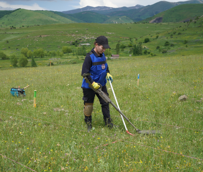
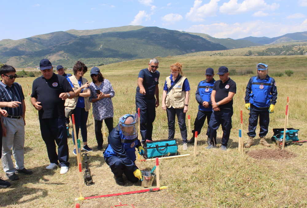
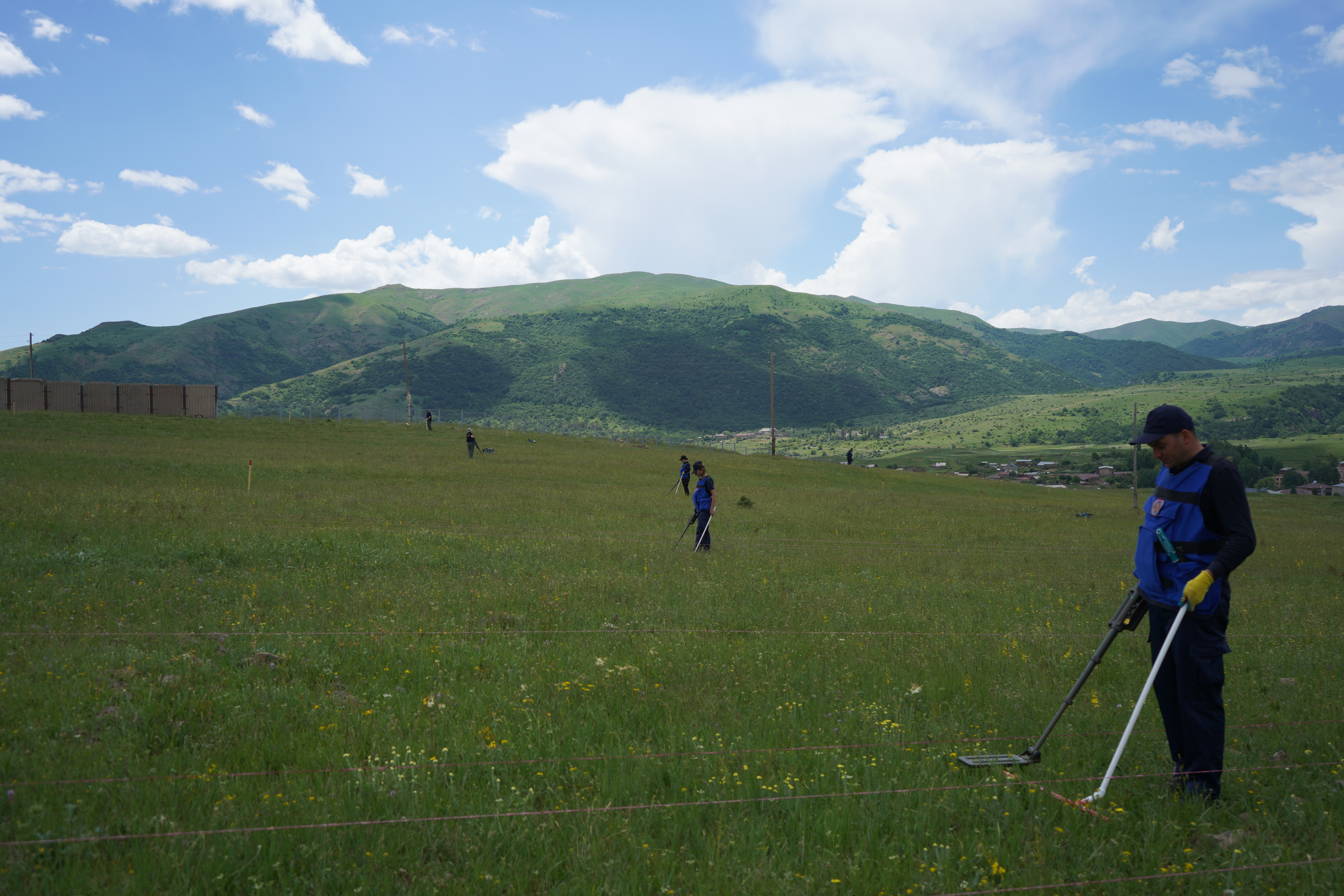
TECHNICAL SURVEY
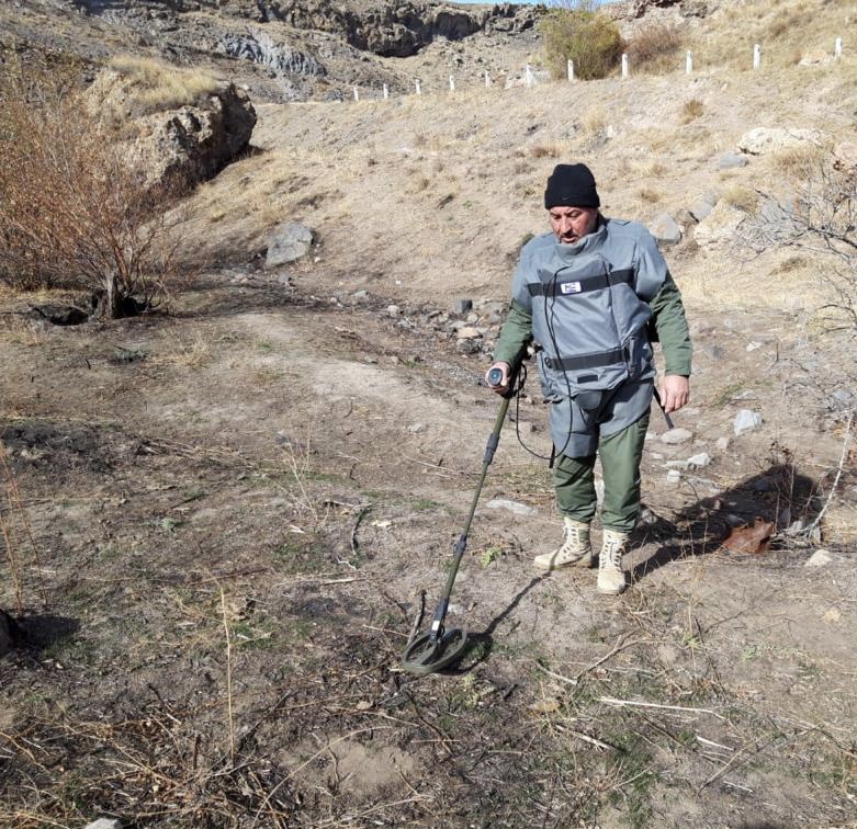
The technical survey is carried out in order to collect detailed technical and topographical information about the confirmed and suspected hazardous areas, which allows to more accurately defining the demining requirements, including the areas to be demined, the depth of demining, the condition of the soil layer, and the characteristics of the vegetation.
It allows formulating progressive requirements and ensuring that operations are carried out accurately, safely and promptly, organizing the implementation of monitoring, validating data, assessing the types and quantities of sources and drawing up a demining plan that includes area cancelation, redaction, demining and marking requirements.
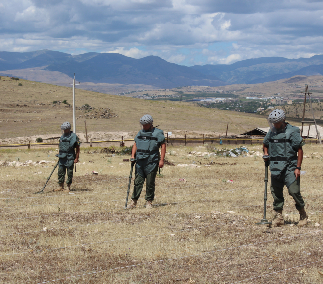
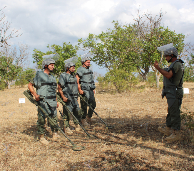
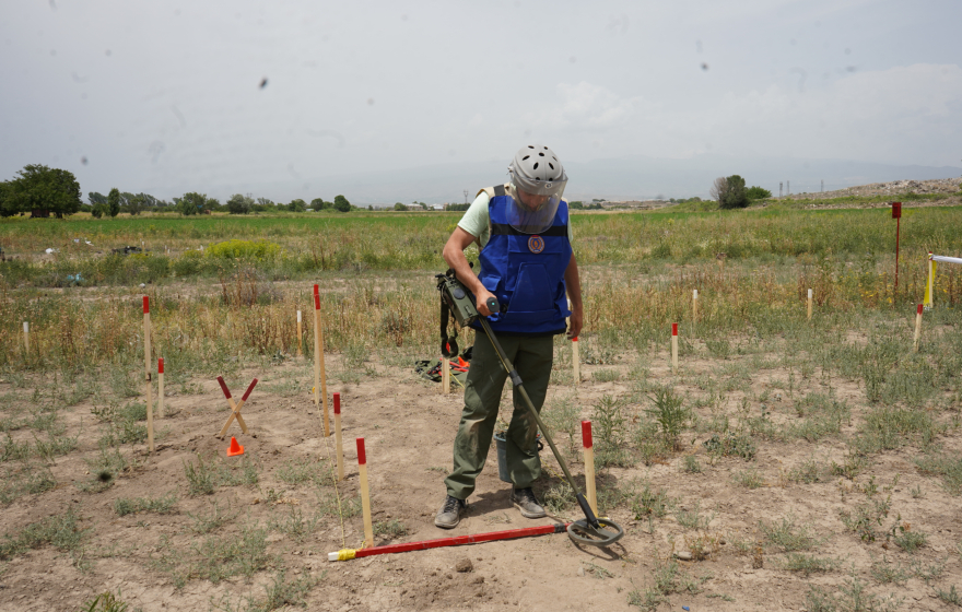
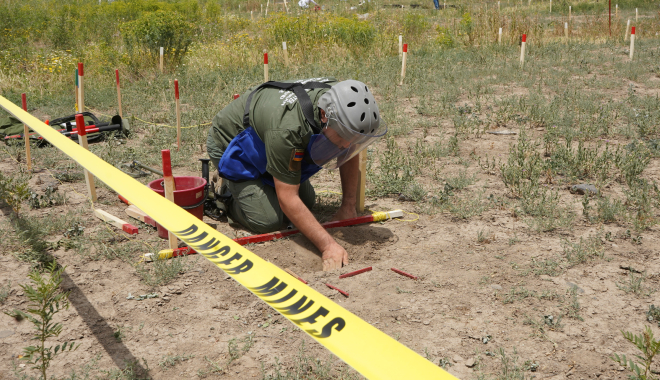
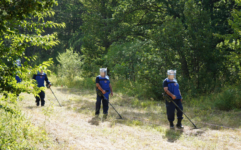
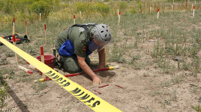
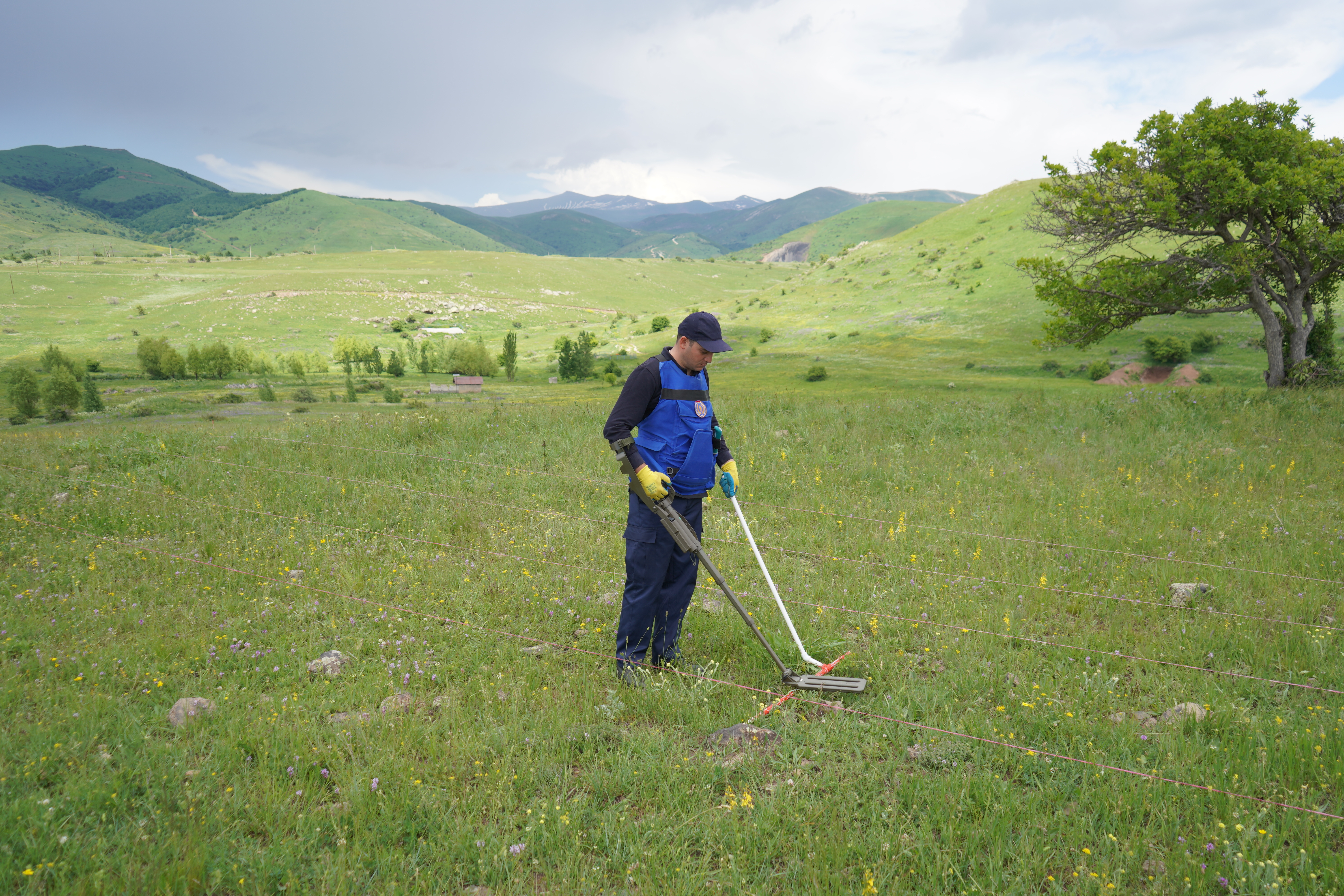
CLEARANCE
An area is considered "cleared" when the demining team maintains the removal and/or elimination of all mines and ERW from a certain area and at a certain depth.
An area is subject to clearance is determined by a non-technical or technical survey, which shows the level of presence of mines and explosive remnants in that area.
The priorities of cleaning are determined by examining and assessing the impact of a particular community.
During 2022, instead of the 50 000 m² planned for the annual plan, the specialists of the "Center for Humanitarian Demining and Expertise" cleared an area of 793 860 m² of landmines and unexploded ordnance (Davit Bek settlement of Kapan community, Syunik region: 146 308 m² and Sisian-Kajaran road: 647 552 m²).
Totally 234 192m² contaminated area was cleared from explosive ordnances in Jermuk, Kechut settlements, Jermuk community, Vayots dzor region and in Sotk, Geghamasar settlements, Vardenis community, Gegharkunik region.